The technology and features we can access on our smartphones are fascinating. Some functions were a preserve of personal computers in the past, but not today. I hope we can agree that a mobile phone has become a convergence device by merging multiple functions. What else awaits us?
One notable feature worth an in-depth look at is geotagging. What exactly is it, and how does it work? First off, you can use geotag photos software by the link to give geotagging a whirl. While you’re at it, let me discuss how geotagging works.
Geotagging: The Basics
Simply put, geotagging involves adding latitudinal and longitudinal data to a file such as a photo. Such encoded data provides a clear marker of where you created such a file (image). If you take a digital photo, you’ll notice how easy it is to encode the date or time you took the photo manually.
Geotagging adds location data onto files in conventional formats such as PNG and JPEG. Also, depending on the context, a geotag can include bearings, timestamps, and other data such as place names. Additional contextual information could be in the form of videos or site URLs.
One common, although detailed, photo geotagging approach requires expensive hardware to log the location of a GPS (Global Positioning System) device. A photo enthusiast can geotag the picture by matching the device’s location with a photo’s encoded time.
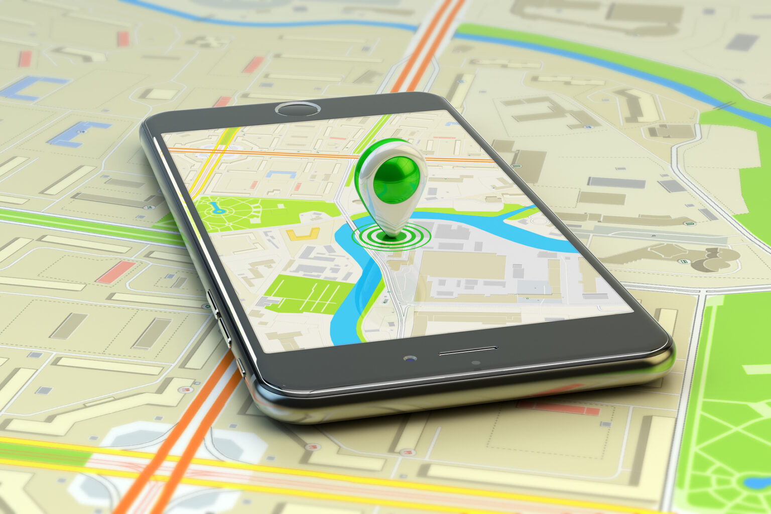
Built-In GPS
If your phone features built-in GPS, you can easily assign coordinates to the photos you take. To find the saved location data, you need to check the image’s properties.
Integrating GPS functions into a phone is a step in the right direction. But, such functions aren’t often interlinked to auto-geolocating features that simplify geotagging.
Geotagging Methodologies
Varying methods for geotagging exists. For instance, some use geospatial location data to create an archive of information for future retrieval. Generally, geospatial data identify objects or features on or close to the earth’s surface. Such an approach melds an object’s or event’s location data and its characteristics with temporary data- a duration that a given feature exists.
A different approach may stream location data continually, recording changes in characteristics of an object and making such information available in real-time. Other methodologies may aggregate tagged content to map results using machine learning models.
Ideally, the setup doesn’t matter: the idea of any geotagging system is to facilitate digital tracking through location data to add value in different contexts. Value addition could take various forms. Perhaps, a look at a few benefits of geotagging could paint a clearer picture.
The Upsides Of Geotagging
Metering
A utility company can use GPS data to capture its customers’ data through smart meters. Inputting the data captured by a GPS-enabled mobile device makes it easier to mark a meter’s coordinates on the map of a given area. That way, the firm can keep track of meter rollout meter data and store customer information with the help of other information systems. In so doing, geotagging helps streamline operations.
Branding
We tend to keep our family and friends abreast of our activities and location by tagging them on social media. Such geotags come in handy when a company needs to improve or analyze brand awareness among its prospective customers.
Firms can also use such data to understand the nature of foot traffic in a given market and develop strategies to attract and make the most of potential clientele.
Geotags also render insights into consumer behavior and interactions with a company’s brand. In so doing, a firm can adopt targeted campaigns tailored to its customers through specialized messaging or offers.
Planning
In the public sector, local governments can glean helpful information regarding the needs of their constituents by analyzing geotags. In that regard, the planning department can plan to deliver in-demand services in a given locality.
Law Enforcement
How do you think license plates are tracked across the U.S.? You guessed it- through geotagging. Law enforcers can utilize geotags to learn about a suspected criminal’s whereabouts and activity. By analyzing such activity, law enforcement can deliver better or more accurate results and, in so doing, enhance the functions of the legal system.
What the Future Holds
Supposing we could post geotagged pictures onto a platform or database that you could use for the greater good. Such photos, in their millions, could be used to identify various objects around the world as the pictures incorporate location data (geotags). Wouldn’t that open up the world to more possibilities?
In a nutshell, geotagging offers immense potential. But, exploiting its total capacity stands for understanding how it works. If need be, refer to this guide if you plan to get your feet wet as a general user of geotagging tech.